| HOMEPAGE |
TOURS BY BOAT
Tour around Santa Maria |
|
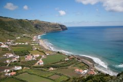
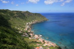
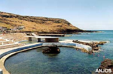
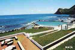
Praia Formosa, seaside resort with a big extension of light sand beach. Maia, a small village located between the cliffs and the sea, with a great natural swimming pool. |
|
Tour to the islets of Formigas (24 miles from Santa Maria) |
|
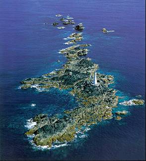
"This name was given to a group of islets, some of them mere rocks. The highest of them, but also one of the smallest, is only 5 meters above the sea level. It is named “Formigão” (big ant). The two largest, very low and only separated by a narrow channel, are only 180 meters long to NS, and about 40 meters wide. In the southern islet there is a 19 meters height lighthouse, and the top of the lighthouse sits 22 meters above sea level. The lighthouse is located in the southern part of the Formigas in a zone that is 3 meters above the mean sea level. The Formigas are the top of a bank of about 7 miles [13 km] long and 3 [5.5 kilometres] wide, located 23 miles [43 km] NE of Santa Maria. The bank extends in the direction NW-SE, with the islets in the NW. Surrounding the islets there are no hidden dangers – besides the rocks that extend about 700 m from north a |
|
Tour to San Miguel (52 miles from Santa Maria) |
|
São Miguel is the closest island of the archipelago to Santa Maria. It is very rich in natural beauty. |
|
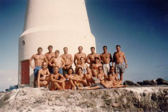 nd south of the lighthouse - and the depth of the bank never falls bellow 30 meters, with the exception of a small point in the southwest, the Dollabarat, where there is only a small area that lies 3 metres deep.